State of Oklahoma
Tallgrass Bison, Weather Radar, and Thirty-Nine Tribal Nations
Centuries before Europeans arrived, Indigenous traders at Spiro Mounds in eastern Oklahoma gathered Gulf Coast seashells, Great Lakes copper, and turquoise into one of North America's richest ceremonial centers!
1 Permian Redbeds, Ancient Orogenies, and Ten Ecoregions
Covering 69,899 square miles from Cypress-tupelo wetlands at 289 feet along the Little River in the southeast to basalt-capped Black Mesa at 4,973 feet at the western tip of the Cimarron Strip (Panhandle), Oklahoma encompasses more ecoregions per square mile than almost any other state. Iron-rich Permian shales color central valleys crimson, flanked by the folded sandstone ridges of the Ouachita Mountains, the eroded 500-million-year-old Cambrian granite peaks of the Wichita Mountains, the post-oak Cross Timbers dividing eastern woodlands from western plains, and the Joseph H. Williams Tallgrass Prairie Preserve where thousands of free-ranging bison restore prairie .
2 Indigenous Crossroads, Sequoyah's Syllabary, and Sovereign Resilience
Ancestral Spiro Mound builders along the Arkansas River traded copper, conch shells, and ceremonial pottery across pre-contact North America, followed by Plains Wichita, Caddo, Osage, Pawnee, Comanche, and Kiowa nations. During the 1830s, federal removal forced the Cherokee, Chickasaw, Choctaw, Muscogee (Creek), and Seminole nations along the Trail of Tears into Indian Territory, followed later by dozens of relocated Plains, Midwest, and Western tribes. Despite immense hardship, tribal citizens rebuilt constitutional republics, bilingual academies, and Sequoyah's Cherokee-language press; in 1866, Choctaw Principal Chief Allen Wright proposed 'Oklahoma' ('okla humma'). Today, thirty-nine federally recognized Tribal Nations exercise dynamic sovereignty across the state.
3 Unassigned Lands, Twin Territories, and 1907 Statehood
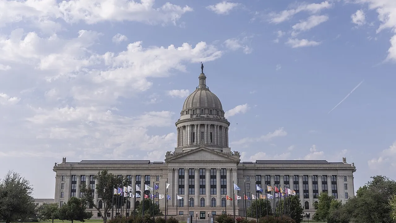
On April 22, 1889, fifty thousand homesteaders surged into the central Unassigned Lands, establishing Guthrie and Oklahoma City in hours. Though Indigenous delegates at the 1905 Sequoyah Convention proposed separate statehood for Indian Territory, Congress combined Oklahoma Territory and Indian Territory under the Enabling Act of 1906, admitting Oklahoma as the forty-sixth state on November 16, 1907, and moving the capital to Oklahoma City in 1910.
4 Tulsa Resilience, Energy History, and Route 66
Early twentieth-century petroleum strikes like the 1905 Glenn Pool propelled Oklahoma's economy, while Tulsa's Greenwood District—remembered and honored after the tragic 1921 Tulsa Race Massacre—exemplified Black achievement. Opened in 1926 and championed by Oklahoman Cyrus Avery, U.S. Highway 66 ('The Mother Road') traced more than four hundred vibrant miles through Tulsa, Oklahoma City, and Clinton.
5 Atmospheric Physics and Cultural Trailblazers
Positioned along the '' where moist Gulf of Mexico air masses meet arid Southwestern and cool Rocky Mountain air, Norman's National Weather Center and NOAA National Severe Storms Laboratory pioneered pulsed Doppler weather radar and phased-array storm forecasting, complementing cultural icons Will Rogers, Jim Thorpe, Woody Guthrie, Ralph Ellison, and Osage prima ballerina Maria Tallchief.
1. Why is central Oklahoma such an important natural laboratory for severe-weather scientists in Norman?
2. What makes Oklahoma's Wichita Mountains unusually ancient compared with the Rocky Mountains?