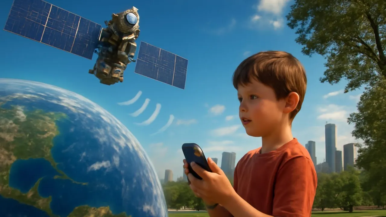
It takes at least four satellites to find your exact location with GPS!
✨ Word Sparks (Grade 2 Glossary)
Tap 🔊 to hear
radio
Invisible waves that carry sound or messages
device
A tool or machine that does a job
explore
To go and find new places
🪝
What if your phone could always tell you where you are?
1
Satellites in the Sky
High above us, satellites send signals down to Earth. These signals travel very fast and reach many places. Your GPS listens for these signals from space.
2
How GPS Helps
GPS helps people find their way in cities and forests. It can show the fastest path to a friend’s house or a new park. Even airplanes and ships use GPS to travel safely.
3
A World of Maps
With GPS, you can see maps on your phone or car screen. The uses signals to show your exact spot. This makes it easy to new places without getting lost.
GPS satellites circle Earth twice every single day!
✨ Word Sparks (Grade 3 Glossary)
Tap 🔊 to hear
triangulation
Finding a spot using three or more points
receiver
A device that catches signals
orbit
To travel around something in space
🪝
Imagine you are lost in a forest—how could a tiny device help you get home?
1
Satellites and Signals
Up in space, satellites Earth and send out special radio signals. These signals travel through the air and reach GPS on the ground. When you use a GPS device, it listens for signals from at least four satellites. The device uses the time it takes for each signal to arrive to calculate your exact position.
2
Triangulation Magic
The process of finding your location with GPS is called . By measuring the distance from several satellites, the pinpoints where you are. This method uses math and the speed of radio waves. That’s why GPS can tell if you’re on a mountain, in a city, or at the beach.
3
Everyday Adventures
People use GPS for driving, hiking, and even treasure hunts called geocaching. Pilots and sailors rely on GPS to guide planes and ships safely. Emergency teams use GPS to find people who need help fast. GPS makes exploring the world safer and more fun.
4
A World-Changing Invention
The U.S. Department of Defense launched the first GPS satellite in 1978. Today, there are over 30 satellites in the GPS network. GPS is used in phones, cars, watches, and even farm tractors. This invention changed how people travel, communicate, and stay safe everywhere.
A GPS satellite’s atomic clock is so precise it loses only one second every 30,000 years!
✨ Word Sparks (Grade 4 Glossary)
Tap 🔊 to hear
atomic clock
A super-accurate clock powered by atoms
latitude
How far north or south a place is
algorithm
A step-by-step math recipe for solving a problem
🪝
What if invisible signals from space could help rescue teams find you anywhere on Earth?
1
How GPS Works: Triangulation and Timing
GPS relies on a network of at least 24 satellites orbiting over 12,000 miles above Earth’s surface. Each satellite sends precisely timed radio signals to receivers on the ground, which use the delay in arrival to calculate distance. By combining signals from at least four satellites, the receiver uses triangulation to determine your exact , longitude, and altitude. This process depends on the speed of light and extremely accurate inside each satellite.
2
From Military Secret to Everyday Tool
Originally, GPS was developed by the U.S. Department of Defense for military navigation in the late 1970s. In the 1980s and 1990s, civilian access to GPS grew as more satellites were launched and technology improved. Today, GPS is used in smartphones, cars, airplanes, and even wearable fitness trackers. Its accuracy has improved from about 100 meters to just a few meters for most users.
3
Changing the World’s Map
GPS has transformed how people travel, explore, and communicate worldwide. Emergency services use GPS to locate people in need and respond faster to disasters. Farmers use GPS-guided tractors for precise planting, while scientists track animal migrations and earthquakes. The technology has also inspired global systems like Europe’s Galileo and Russia’s GLONASS.
4
The Science Behind the Signals
GPS satellites use to keep perfect time, which is crucial for accurate positioning. The signals travel at the speed of light and carry coded information about the satellite’s location and the exact time sent. Receivers decode these signals, using mathematical to solve for position. Without this science, modern navigation and many safety systems would not exist.
2. Which field uses GPS to track animal movements?
🤯 Mind-Blowing Fact • Grade 5
Without relativistic time corrections, GPS would be off by about 10 kilometers every day!
✨ Word Sparks (Grade 5 Glossary)
Tap 🔊 to hear
trilateration
Finding a spot using distances from three or more points
relativity
A science theory about how time and space work together
interference
Something that blocks or changes a signal
🪝
If you could see the invisible web of GPS signals crisscrossing our planet, what secrets would you discover?
1
A Constellation Above: The Engineering of GPS
The Global Positioning System operates through a constellation of at least 24 active satellites, each orbiting Earth at approximately 20,200 kilometers (12,550 miles) altitude. These satellites are arranged so that at least four are visible from any point on Earth at any time. Each satellite continually broadcasts a unique coded radio signal containing its location and the exact time, synchronized by ultra-precise atomic clocks. The entire system relies on the physics of radio wave propagation and the constant velocity of light to ensure accuracy.
2
Triangulation, Timing, and Mathematical Precision
A GPS receiver determines its position by measuring the time delay for signals from multiple satellites to reach it. By calculating the distance to at least four satellites, the receiver uses —a three-dimensional form of triangulation—to solve for latitude, longitude, and altitude. The calculations must account for factors such as atmospheric , satellite drift, and even the effects of Einstein’s theory of on time. Without these mathematical corrections, GPS errors could grow to several kilometers per day.
3
From Military Tool to Global Necessity
Conceived during the Cold War, GPS was initially a military navigation secret, first tested in 1978 and fully operational by 1995. The system was opened for civilian use in the 1980s, and accuracy improved dramatically after 2000 when the U.S. government removed intentional signal degradation. Today, GPS is essential for aviation, shipping, emergency response, agriculture, and even banking transactions that require precise timing. Its influence extends to nearly every aspect of modern society.
4
Global Impact and Scientific Evolution
GPS technology has inspired the development of other global navigation satellite systems, such as Europe’s Galileo, Russia’s GLONASS, and China’s BeiDou. Scientists use GPS to monitor tectonic plate movements, track endangered animals, and measure changes in sea level. Farmers use GPS-guided equipment for precision agriculture, reducing waste and increasing crop yields. The system’s accuracy, reliability, and global reach have fundamentally changed how humans interact with their environment.
5
The Future of Positioning: Innovations and Challenges
As technology evolves, GPS faces challenges like signal jamming, urban canyon , and the need for even greater accuracy. Engineers are developing next-generation satellites, improved algorithms, and hybrid systems that combine GPS with other sensors for resilience. Quantum clocks and advanced error-correction techniques may soon allow positioning accuracy down to centimeters. The future of GPS promises even more precise navigation, smarter cities, and new scientific discoveries about our dynamic planet.